Wir arbeiten mit mehreren Transportunternehmen zusammen, nämlich Packs, UPS, GO! und DPD. Für große oder zerbrechliche Pakete können auch Kuriere eingesetzt werden.
Leinwände, Aluminium, Acrylglas und gerahmte Werke werden sicher in Luftpolsterfolie und Karton verpackt. Tapeten und Poster werden in stabilen Röhren verschickt.
Ein Kurier holt das Paket bei uns ab und bringt das Werk zu einem Depot, wo es in der Regel über Nacht bleibt. Am Tag nach der Abholung wird es dann zu dir nach Hause oder ins Büro geliefert. Wir arbeiten mit Kurierdiensten zusammen, die auf den Versand von zerbrechlichen Paketen spezialisiert sind - das ist kein Problem.
Nicht zu Hause? Dann hinterlässt der Zusteller eine Nachricht, und du kannst einen Termin für eine neue Lieferung vereinbaren.
Natürlich kann während einer Sendung immer etwas passieren. Ist dein Paket während des Transports beschädigt worden? Bitte mache ein Foto von der gesamten Sendung, dem Schaden, dem gesamten Paket und ein Foto des Versandetiketts. Schicke diese Fotos an uns, und wir werden die Angelegenheit schnellstmöglich lösen.


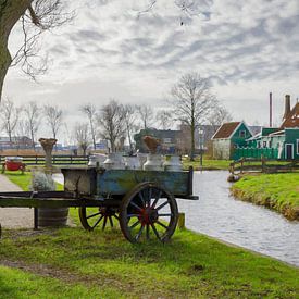 Zaanse Schans op doek9 Bilder
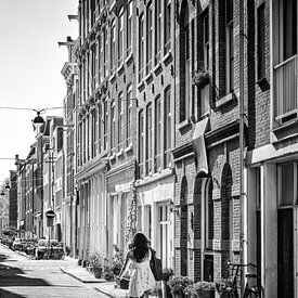 Amsterdam6 Bilder
 Werkendam6 Bilder
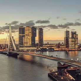 Rotterdam120 Bilder
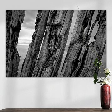
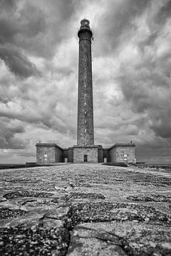
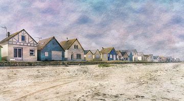
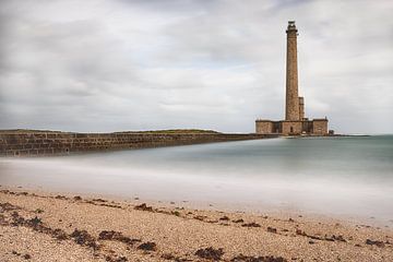
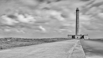
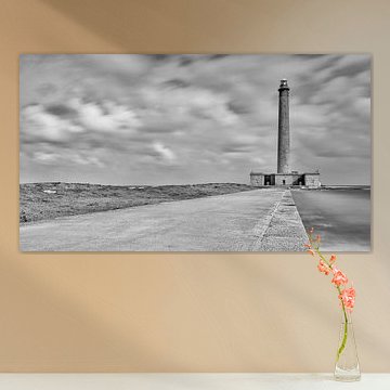
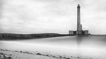
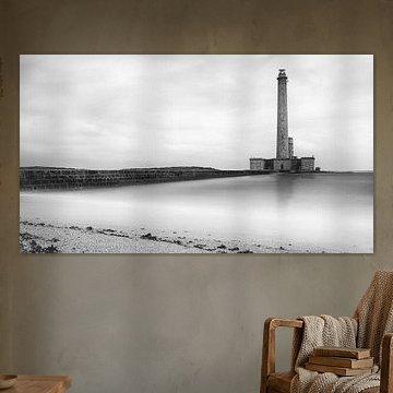
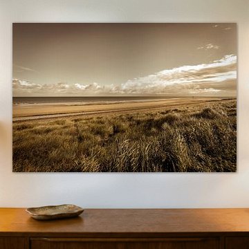
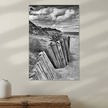
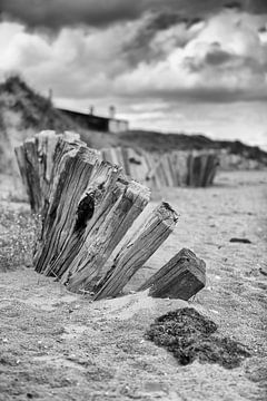
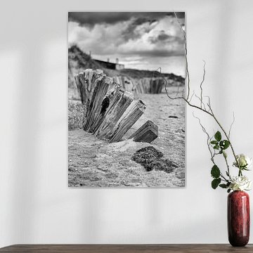
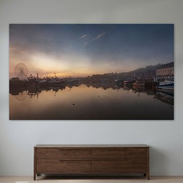
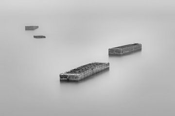
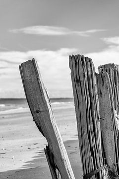
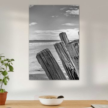
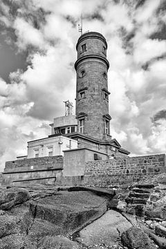
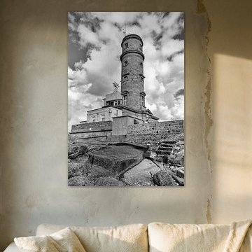
 Normandy65 Bilder
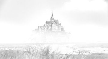
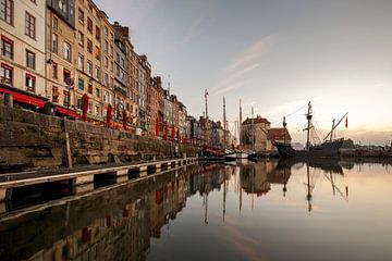
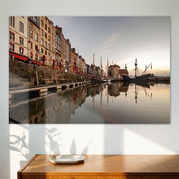
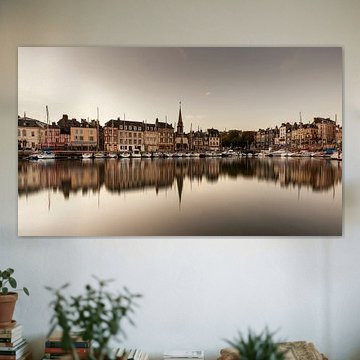
 Paris6 Bilder
 Dordrecht19 Bilder
 Kinderdijk6 Bilder
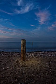
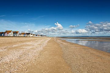
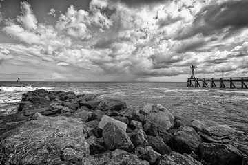
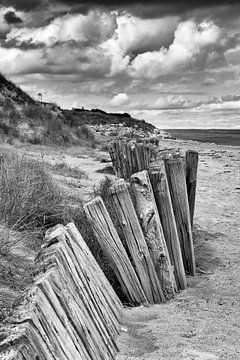
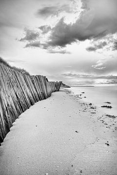
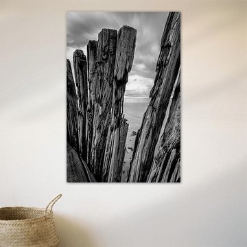
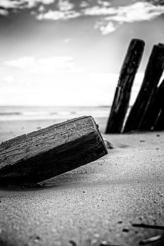
 Zeeland27 Bilder
 Valencia Spanien12 Bilder
 Luxembourg4 Bilder
 Macro fotografie3 Bilder
 Digital Art25 Bilder
 Macro Photography5 Bilder
 Oude Beelden (film 6x6)1 Bild